The Automatic Identification System (AIS) is a special system used in the maritime industry to track and share information about ships. It helps keep track of ships in real-time and helps identify them. The purpose of AIS is to make sure ships are safe at sea and to manage the traffic of ships.
Maritime traffic means the movement of ships and boats in the oceans and seas. It's important because it helps transport goods, people, and services between different countries. Many things like fishing, tourism, and research also depend on maritime traffic. We need to manage and monitor this traffic to prevent accidents and protect the environment.
AIS works by using special radio signals to send and receive information between ships and stations on land. Each ship with AIS constantly shares its position, speed, direction, and other details. Other ships and stations nearby can receive and see this information.
The purpose of AIS is to make maritime traffic safer and more efficient. It helps ships know where other ships are to avoid crashing into them. It also helps authorities plan and manage shipping routes better, which can save time and money.
Many different people and organizations in the maritime industry use AIS. This includes ship owners, port authorities, shipping agents, security organizations, and governments. Ships over a certain size and passenger ships always have to use AIS when they're in international waters.
AIS equipment is made by different companies and comes in different types and models. The price can vary, but it usually starts at around $500.
So, AIS is an important technology for the maritime industry. It helps keep track of ships and makes sure they're safe. Most big ships in international waters have to use AIS. Many people in the maritime industry rely on AIS to do their work.

AIS is an essential component of the Vesselfinder system. Vesselfinder uses a combination of AIS data and satellite technology to provide a comprehensive and accurate picture of vessel movements. The system receives signals from transponders installed on ships, providing details on the vessel's position, speed, course, and other relevant information. Vessel finder then processes this data and presents it to users in a simple and easy-to understand format.
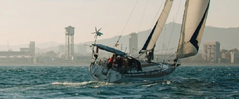
Do you want to learn more about advanced sailing tools like VHF radio technology that enhances safety and efficiency on board? Check out our sailing experiences and courses at our training centre in Barcelona and boost your theoretical knowledge while sailing! Neptuno offers sailing courses to become a certificated rya Competent Crew, a Coastal Skipper, a rya Day Skipper or a rya Yachtmaster offshore.